

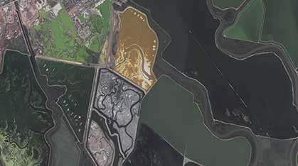
Damage assessment involves analyzing satellite imagery to evaluate the extent and severity of physical impacts following a disruptive event. By comparing imagery from before and after an incident, analysts can identify damaged buildings, infrastructure, and land areas, supporting recovery planning, insurance evaluation, and resource allocation.
Schedule satellites for your AOI
Explore providers' catalogs
COG, GeoTIFF, analytics-ready