LandEye
logo

© 2025 Landeye.com | All Rights Reserved

LandEye

Irrigation & Water Resource Management

Smarter Water Use

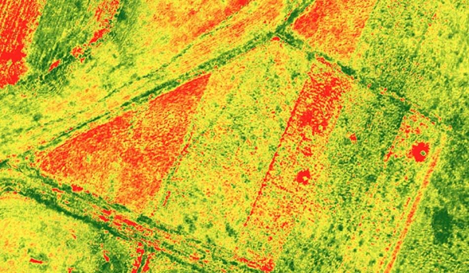
Supports optimized irrigation planning by identifying water stress, over-irrigation, and moisture variability across agricultural fields.

Task new captures

Task new captures

Schedule satellites for your AOI

Access existing imagery

Access existing imagery

Explore providers' catalogs

Formats & delivery

Formats & delivery

COG, GeoTIFF, analytics-ready

Case Studies in Irrigation & Water Resource Management

Built for Procurement & Teams

Escrow-protected payments (crypto-ready)
Transparent pricing, lower than elsewhere
 Zero paperwork: order in minutes
 Zero paperwork: order in minutes
Delivery confirmation & invoices
Ready to access existing imagery?Order new captures or browse existing catalogs — all in one place.