


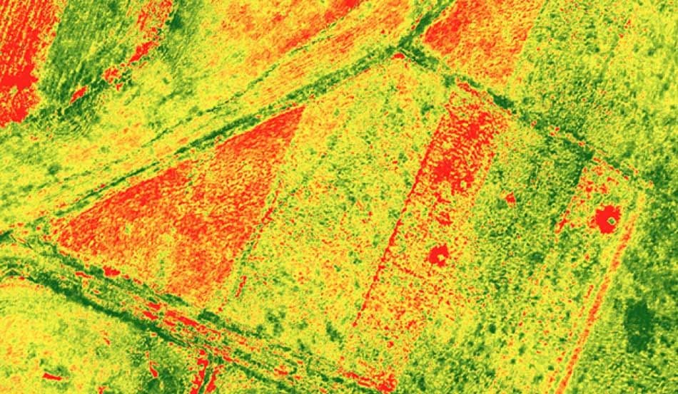

Agriculture depends on timely, accurate Earth observation to understand what is happening across fields, seasons, and entire growing regions. With optical, SAR, and multispectral data, agronomists and agri-tech providers can track vegetation indices like NDVI, identify moisture stress, and monitor crop development at scale.
Through LandEye, users access both existing imagery and new tasking to support precision agriculture, irrigation planning, soil and moisture assessment, and early detection of pests or disease. The result is better-informed decisions, more efficient inputs, and improved yield forecasting from field to region.
Schedule satellites for your AOI
Explore providers' catalogs
COG, GeoTIFF, analytics-ready