LandEye
logo

© 2025 Landeye.com | All Rights Reserved

LandEye

Flood

Inundation and overflow impacts

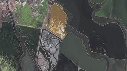
Satellite imagery for detecting flooding extent, affected areas, and post-flood damage patterns.

Task new captures

Task new captures

Schedule satellites for your AOI

Access existing imagery

Access existing imagery

Explore providers' catalogs

Formats & delivery

Formats & delivery

COG, GeoTIFF, analytics-ready

Existing Imagery for Flood

Port Expansion-2023,  Change Detection
18-12-2025Port Expansion-2023, Change Detection
11.00%
13.83°
Sensor:Day TimeUltra-High(30cm)
Price:$12/km²

Built for Procurement & Teams

Escrow-protected payments (crypto-ready)
Transparent pricing, lower than elsewhere
 Zero paperwork: order in minutes
 Zero paperwork: order in minutes
Delivery confirmation & invoices
Ready to access existing imagery?Order new captures or browse existing catalogs — all in one place.