LandEye
logo

© 2025 Landeye.com | All Rights Reserved

LandEye
Energy & Infrastructure

Energy & Infrastructure

Inspect, monitor, and plan critical assets across oil, gas, power, and transport networks.

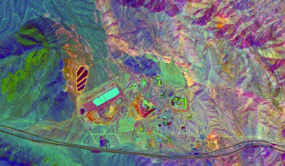
Energy and infrastructure operators use Earth observation to keep assets visible, safe, and compliant—from pipelines and transmission lines to roads, rail, and industrial sites. High-resolution imagery, stereo models, and DEMs help track construction progress, detect encroachment, and plan maintenance with a clear view of ground conditions.

LandEye connects owners, operators, and engineering teams to multi-sensor imagery across corridors and remote sites. Whether you are screening a new solar or wind location, monitoring mining and extraction activities, or inspecting linear infrastructure over time, imagery provides an objective, repeatable record for planning and operations.

Task new captures

Task new captures

Schedule satellites for your AOI

Access existing imagery

Access existing imagery

Explore providers' catalogs

Formats & delivery

Formats & delivery

COG, GeoTIFF, analytics-ready

Existing Imagery for Energy & Infrastructure

Built for Procurement & Teams

Escrow-protected payments (crypto-ready)
Transparent pricing, lower than elsewhere
 Zero paperwork: order in minutes
 Zero paperwork: order in minutes
Delivery confirmation & invoices
Start with Agriculture. Scale with LandEye.Order new captures or browse existing catalogs — all in one place.