LandEye
logo

© 2025 Landeye.com | All Rights Reserved

LandEye
Environment & NGOs

Environment & NGOs

Support climate action, conservation, and humanitarian work with trusted EO data.

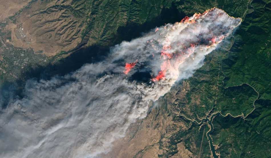
Environmental organizations and NGOs use Earth observation to measure change across forests, water bodies, coasts, and urban environments. Multi-temporal imagery supports monitoring of land use and land cover, deforestation, biodiversity loss, wetlands, and water quality, as well as emissions and air quality indicators.

With LandEye, teams can access both archive and tasked imagery to support climate reporting, conservation projects, and humanitarian assessments before and after a crisis. The platform helps translate complex remote sensing into practical insights for disaster preparedness, impact mapping, and long-term environmental stewardship.

Task new captures

Task new captures

Schedule satellites for your AOI

Access existing imagery

Access existing imagery

Explore providers' catalogs

Formats & delivery

Formats & delivery

COG, GeoTIFF, analytics-ready

Existing Imagery for Environment & NGOs

Built for Procurement & Teams

Escrow-protected payments (crypto-ready)
Transparent pricing, lower than elsewhere
 Zero paperwork: order in minutes
 Zero paperwork: order in minutes
Delivery confirmation & invoices
Start with Agriculture. Scale with LandEye.Order new captures or browse existing catalogs — all in one place.