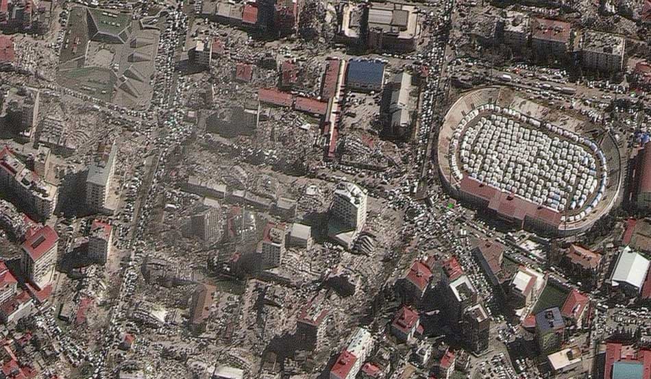
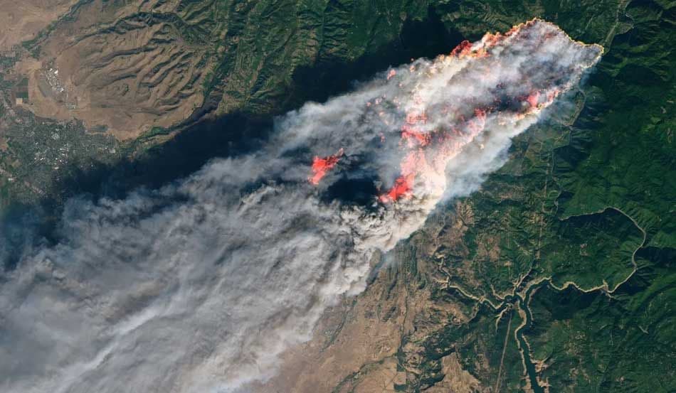
LandEye
logo

© 2025 Landeye.com | All Rights Reserved

LandEye

Disaster Preparedness Mapping

Planning Before the Crisis

Uses baseline imagery and spatial risk data to strengthen preparedness strategies and reduce uncertainty before disasters occur.

Task new captures

Task new captures

Schedule satellites for your AOI

Access existing imagery

Access existing imagery

Explore providers' catalogs

Formats & delivery

Formats & delivery

COG, GeoTIFF, analytics-ready

Built for Procurement & Teams

Escrow-protected payments (crypto-ready)
Transparent pricing, lower than elsewhere
 Zero paperwork: order in minutes
 Zero paperwork: order in minutes
Delivery confirmation & invoices
Ready to access existing imagery?Order new captures or browse existing catalogs — all in one place.